
The following are what are known as dependencies. They are not countries recognised by the United Nations, however, they have a large amount of control over their own affairs but are actually dependent on another country for certain things, usually defence and international representation. We are treating them differently to the recognised countries, giving you less information.


Back to the Flags of Asia page
 The six dependencies in Asia, together with their sovereign country, are:-


The six dependencies in Asia, together with their sovereign country, are:-
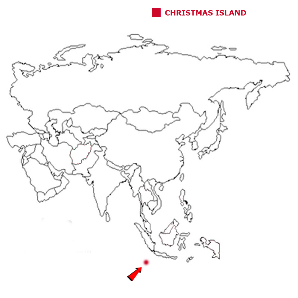
CHRISTMAS ISLAND
Christmas Island is a small island situated in the Indian Ocean, about 350 kilometres south of Indonesia and around 1,550 kilometres north-west of the
Australian mainland.
The geographical coordinates for Christmas Island, also known as lines of latitude and longitude, are:-
Latitude 10 30S
Longitude 105 40E.
The island was named in 1643 as it was discovered on December 25th. The island was settled in 1888 by the United Kingdom. After WWII the island came
under the control of Singapore, became independent for 9 months in 1958 before being transferred to the control of Australia on 1st October 1958. Almost
two-thirds of the island is a national park.
The weather is tropical with a wet season running from December to April.
Christmas Island has a total land area of 135 sq kms.
It has a total coastline of 138.9 kms and has no land borders.
It has a total population of 2,205.
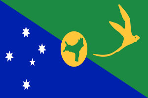
Below is a map showing where Christmas Island is and the flag of Christmas Island.
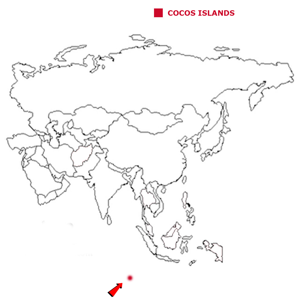
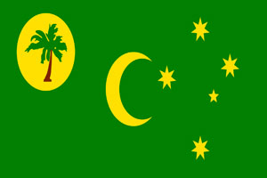
COCOS ISLANDS
The Cocos Islands are 25 small coral islands. It is midway between Australia and Sri Lanka in the Indian Ocean.
The geographical coordinates for The Cocos Islands, also known as lines of latitude and longitude, are:-
Latitude - 12 30S
Longitude 96 50E.
Captain William Keeling, they are sometimes known as the Keeling islands, discovered the islands in 1609 but they remained uninhabited until the
19th century. From the 1820s to 1978, members of the Clunies-Ross family controlled the islands and the major export was copra produced from local coconuts.
They were annexed by the UK in 1857 and then transferred to the Australian Government in 1955. Apart from North Keeling Island, which lies 30 kilometers north of
the main group, the islands form a horseshoe-shaped atoll surrounding a lagoon. North Keeling Island was declared a national park in 1995 and is administered
by Parks Australia. The weather is tropical though moderated by the trade winds for 9 months of the year.
The Cocos Islands have a total area of 14 sq kms.
They have a total coastline of 26 kms and have no land borders.
The Cocos Islands have a total population of 596.
Below is a map showing where The Cocos Islands are and the flag of The Cocos Islands.
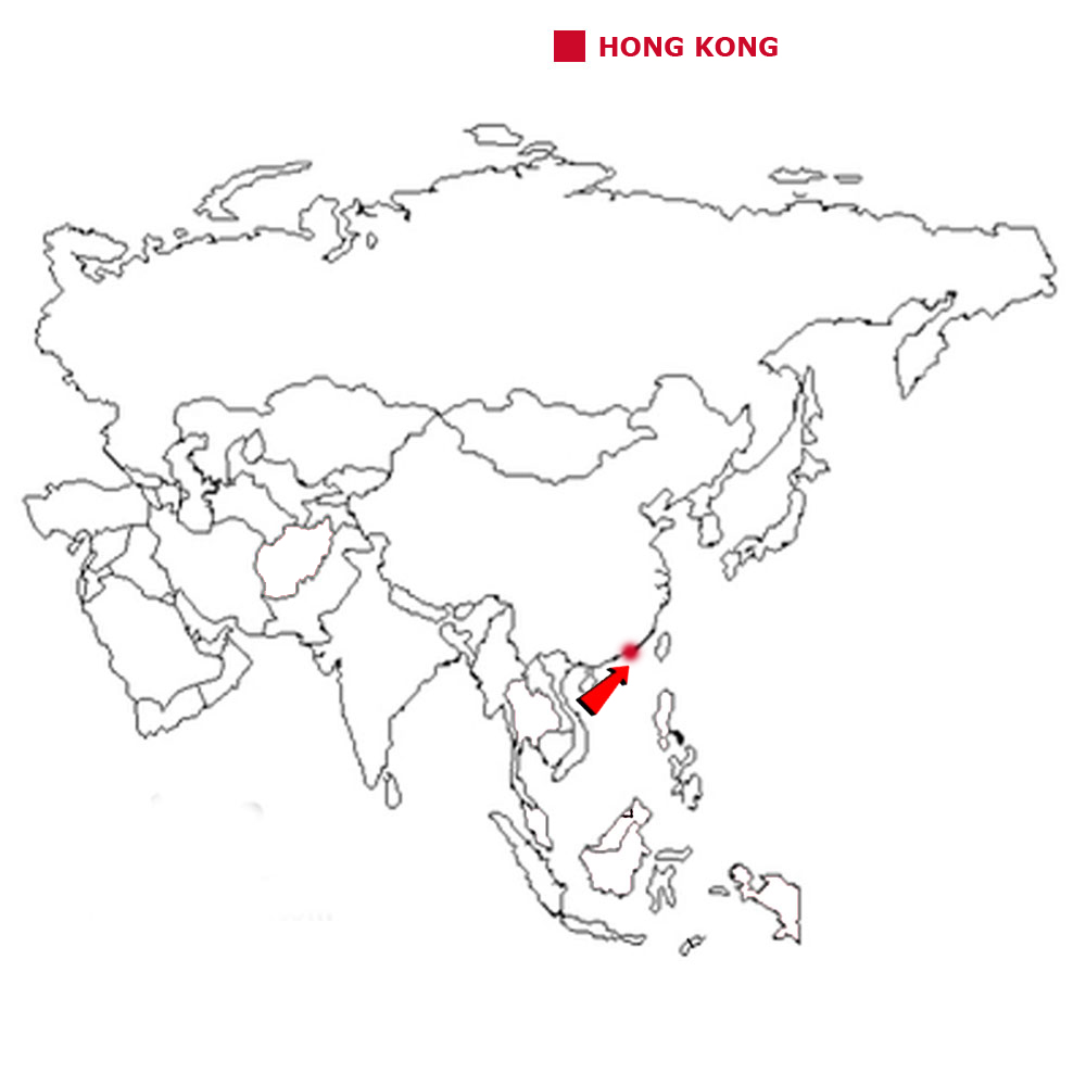
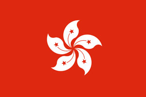
HONG KONG
Hong Kong is made up of Hong Kong Island, the Kowloon Peninsula and the New Territories.
The geographical coordinates for Hong Kong, also known as lines of latitude and longitude, are:-
Latitude 22 15N
Longitude 114 10E.
Hong Kong was occupied by the British in 1841 and ceded by China the following year. In 1898 Britain was given a 99-year lease of the area. Hong Kong was
transferred back to China in 1997. The country became the Hong Kong Special Administrative Region of the People's
Republic of China on 1 July 1997. In the agreement, China promised that in all matters except foreign and defense
affairs, Hong Kong would keep autonomy for the subsequent 50 years. The weather is sub-tropical monsoon with a cool, humid winters, hot, rainy spring and summers with
warm, sunny autumns.
Hong Kong has a total area of 1,108 sq kms.
It has a total coastline of 733 kms and has a land border of 33 kms with China.
They have a total population of 7.21 million people.
Below is a map showing Hong Kong is and the flag of Hong Kong.
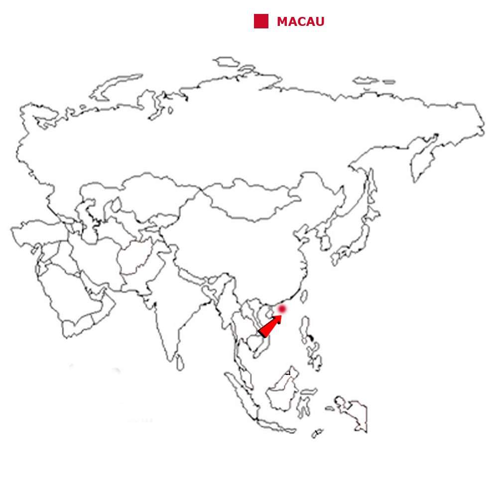
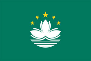
MACAU
Macua is a collection of small islands in the South China Sea.
The geographical coordinates for Macau, also known as lines of latitude and longitude, are:-
Latitude 22 10N
Longitude 113 33E.
First settled by the Portuguese in the 16th century, Macau was the first European settlement in the Far East. On 20th December 1999, Macau became the
Macau Special Administrative Region of the People's Republic of China. In the agreement, China promised that in all matters except foreign and defense
affairs, Macau would keep autonomy for the subsequent 50 years. The weather is sub-tropical monsoon with a cool, humid winters, hot, rainy spring and summers with
warm, sunny autumns.
Macau has a total area of 28.2 sq kms.
It has a total coastline of 41 kms and has a land border of 3 kms with China.
It had a total population of 606,340.
Below is a map showing where Macau is and the flag of Macau.
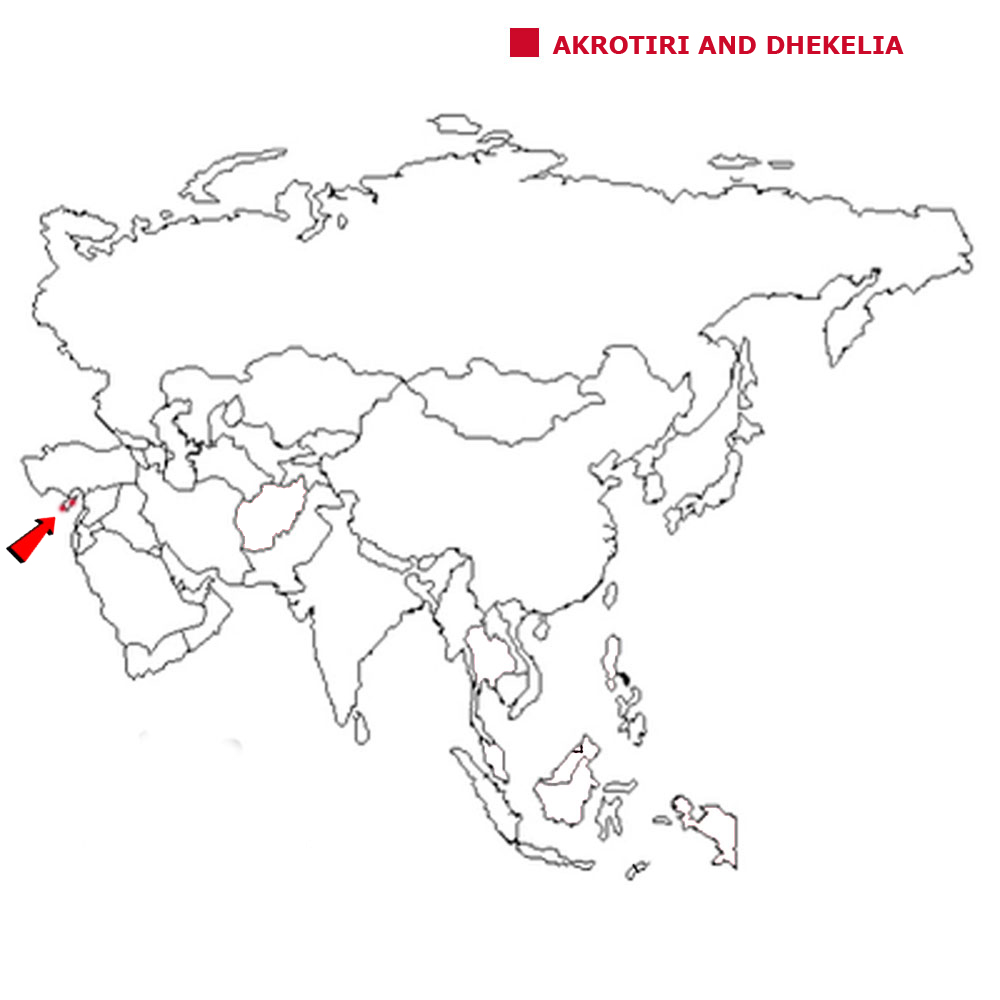
AKROTIRI AND DHEKELIA
Akrotiri and Dhekelia are two British Overseas Territories on the island of Cyprus.
The geographical coordinates for Dhekelia (Akrotiri is a few miles away), also known as lines of latitude and longitude, are:-
Latitude 34 59N
Longitude 33 45E.
The areas, which include British military bases and installations, as
well as other land, were retained by the British under the 1960 treaty of independence for Cyprus. The weather is mediterranean with hot, dry summers and cool winters
Akrotiri and Dhekelia have a total land area of 254 sq kms.
They have a total coastline of 83.8 kms and a land border of 156 kms with Cyprus.
They have a total population of 15,500.
Below is a map showing where Akrotiri and Dhekelia are. They use the United Kingdom flag.
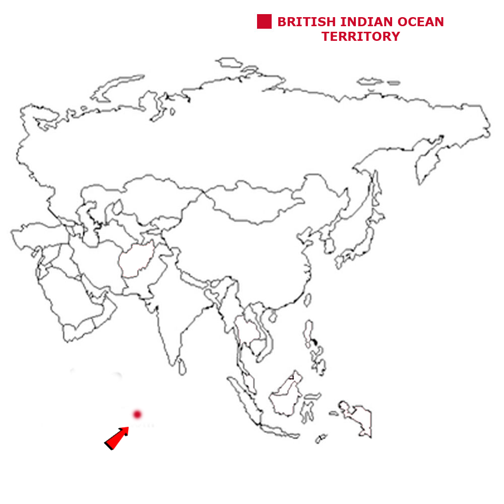
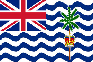
BRITISH INDIAN OCEAN TERRITORY
The British Indian Ocean Territory are a group of six main islands in the Indian Ocean.
The geographical coordinates for the British Indian Ocean Territory, also known as lines of latitude and longitude, are:-
Latitude 6 00S
Longitude 71 30E.
The British Indian Ocean Territory wasformerly administered as part of the British Crown Colony of Mauritius. It was established as an overseas territory
of the UK in 1965. Between 1967 and 1973, former agricultural workers, earlier residents in the islands, were relocated primarily to Mauritius, but also to the
Seychelles while a number of the islands of the territory were also transferred to the Seychelles when it attained independence in 1976. Only Diego Garcia, the
largest and most southerly of the islands, is inhabited. It contains a joint UK-US naval support facility. Disputes have continued since 1971 between the displaced
islanders and the British Government.
The British Indian Ocean Territory has a total land area of 60 sq kms.
It has a total coastline of 698 kms and has no land borders.
It has a total population of 3,000 who are all UK or US military personnel.
Below is a map showing where the British Indian Ocean Territory is and the flag of the British Indian Ocean Territory.
![]()