


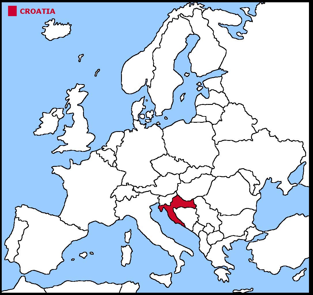
Croatia is a country in the south east corner of Europe.
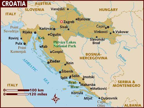
Croatia has a large coastline. It borders on the Adriatic Sea. There are also about 700 islands that make up the country. Of these islands, about 50 are inhabited.
The largest island, Krk, is about 400 sq kms and has around 20,000 people permanently living there.
The land is a mixture of mountains and plains.
The geographical coordinates for the centre of Croatia, also known as lines of latitude and longitude, are:-
Latitude - 45 10N
Longitude - 15 30E.
The capital of Croatia is Zagreb.
Croatia is a parliamentary republic with a president as head of state and a prime minister as head of the government. People over 16 can vote if they are employed.
In elections everyone over the age of 18 can vote.
The currency in Croatia is the Croatian Kuna. Croatia is a member of the European Union, having joined in 2013.
Croatian is the official language.
Check the weather in Zagreb now.
This is the time in Zagreb now
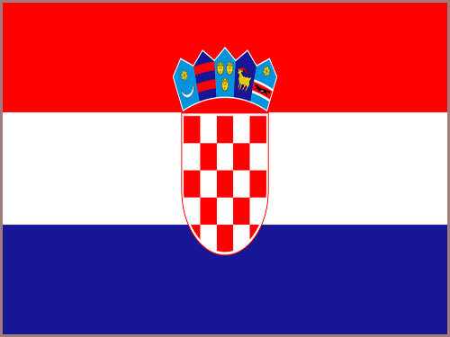 The Croatian flag is 3 equal horizontal stripes of red, white and blue with the Croatian coat of arms in the centre. The coat of arms is a shield of 13 red and
12 white squares with 5 smaller shields making a crown at the top. The 5 shields represent five historic regions of Croatia, namely Croatia, Dubrovnik, Dalmatia,
Istria and Slavonia.
The Croatian flag is 3 equal horizontal stripes of red, white and blue with the Croatian coat of arms in the centre. The coat of arms is a shield of 13 red and
12 white squares with 5 smaller shields making a crown at the top. The 5 shields represent five historic regions of Croatia, namely Croatia, Dubrovnik, Dalmatia,
Istria and Slavonia.


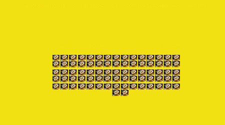
 Each little Owlbut is 1 person and
the big yellow rectangle is 1 sq km. After a while you can compare countries and see which ones are the most crowded. Remember it is only an average as
more people live closer together in towns and cities than in villages out in the country.
Each little Owlbut is 1 person and
the big yellow rectangle is 1 sq km. After a while you can compare countries and see which ones are the most crowded. Remember it is only an average as
more people live closer together in towns and cities than in villages out in the country.


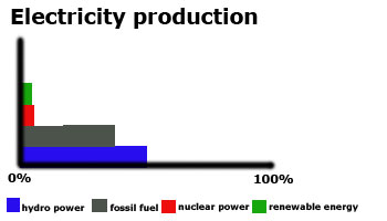

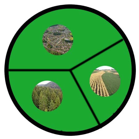
 They work in the following sectors.