


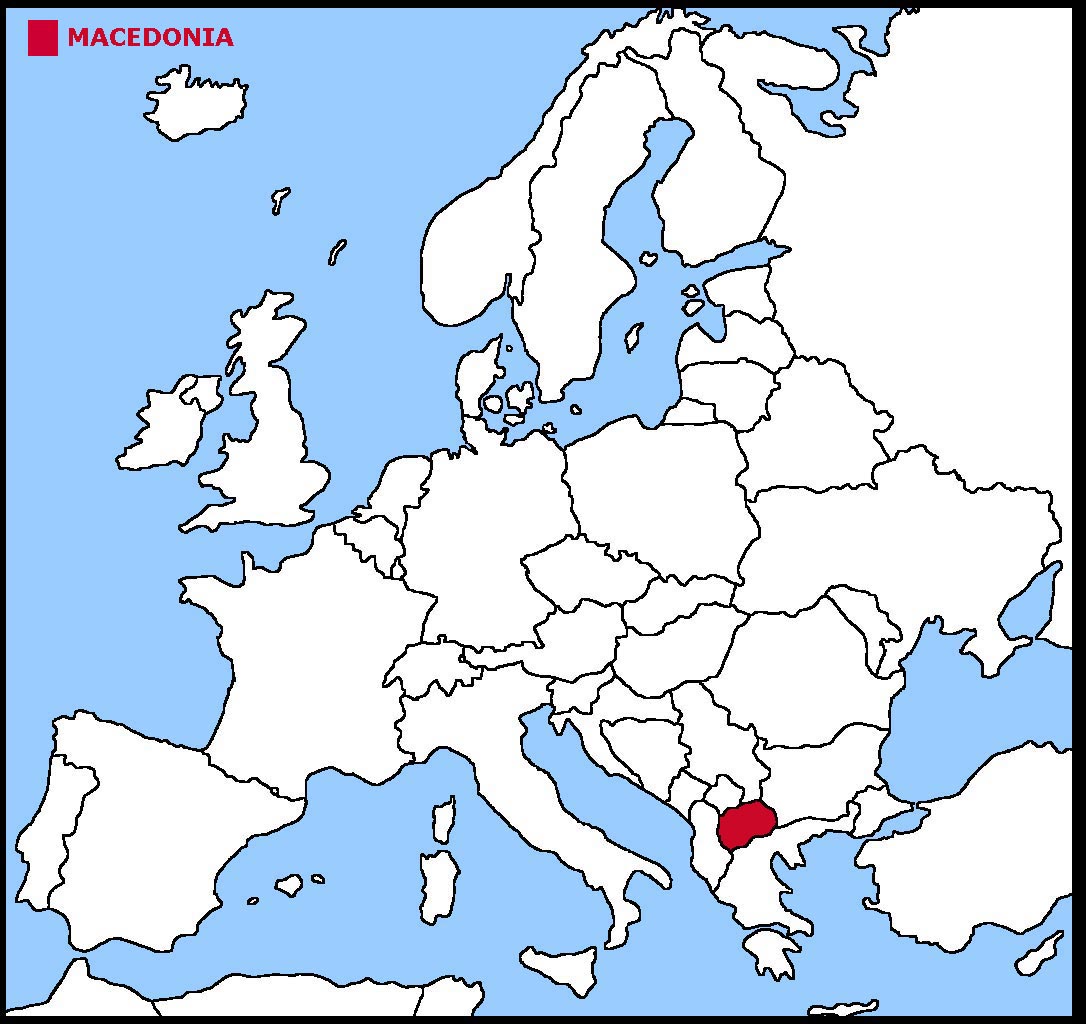
North Macedonia is a country in the south east corner of Europe. Until February 2019 it was known as the Former Yugoslav Republic of Macedonia (FYROM). This was
because of a dispute with its neighbour, Greece, which has a region known as Macedonia. On September 30th 2018 the FYROM held a referendum to change its name to
North Macedonia and end the dispute. Unfortunately not enough people voted to make the "yes" vote valid. On October 18th 2018 the Macedonian Parliament voted to go
ahead with the name change.
North Macedonia is a landlocked country which means it has no borders with a coast.
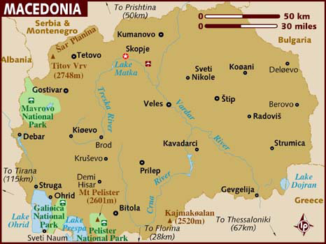
The land is mountainous with deep valleys and three very large lakes. The River Vardar runs right across the country from north to south.
The geographical coordinates for the centre of North Macedonia, also known as lines of latitude and longitude, are:-
Latitude - 41 50N
Longitude - 22 00E
The capital of North Macedonia is Skopje.
North Macedonia is a parliamentary republic with a president as head of state and a prime minister as head of the government.
In elections everyone over the age of 18 can vote.
The currency in North Macedonia is the denar. North Macedonia is not a member of the European Union but has made a formal application to join.
It has been granted candidate status which means the EU will now consider its application over the next few years. However in 2014, the EU stated it had no
plans to expand in the next five years.
Macedonian and Albanian are the major languages.
Check the weather in Skopje now.
This is the time in Skopje now
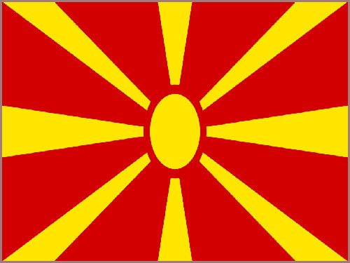 The North Macedonian flag is a yellow sun (the sun of liberty) with eight rays, getting wider and spreading to the edges of a red background.


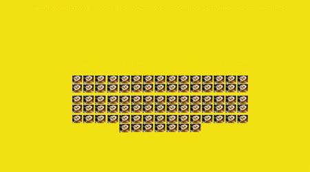
 Each little Owlbut is 1 person and
the big yellow rectangle is 1 sq km. After a while you can compare countries and see which ones are the most crowded. Remember it is only an average as
more people live closer together in towns and cities than in villages out in the country.
Each little Owlbut is 1 person and
the big yellow rectangle is 1 sq km. After a while you can compare countries and see which ones are the most crowded. Remember it is only an average as
more people live closer together in towns and cities than in villages out in the country.


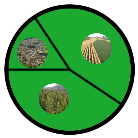
 They work in the following sectors.