


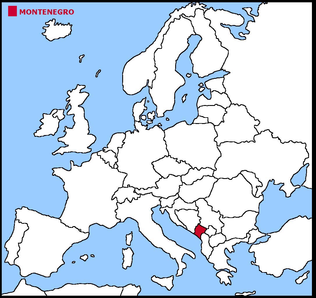
Montenegro is a small country in the south east corner of Europe.
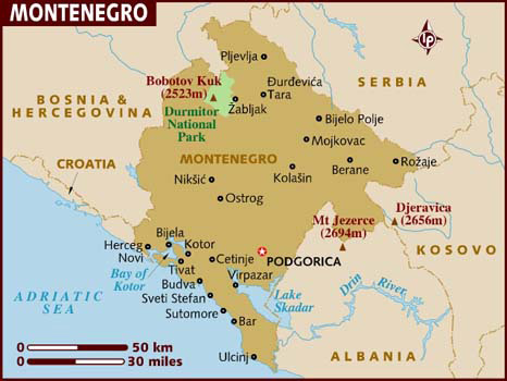
Montenegro is bordered in the west by the Adriatic Sea. The Coast has several large inlets. The biggest is the Bay of Kotor. The inlet is about
28 kms long and tall mountains rise at each side. The area is a World Heritage Site.
The Tara River canyon is the deepest and longest in Europe.
The land is mountainous inland with high plateaus. The word Montenegro means black mountain.
The geographical coordinates for the centre of Montenegro, also known as lines of latitude and longitude, are:-
Latitude - 42 30N
Longitude - 19 18E
The capital of Montenegro is Podgorica.
Montenegro is now a parliamentary republic with a president as head of state and a prime minister as head of the government.
In elections everyone over the age of 18 can vote.
The currency in Montenegro is the euro. However, Montenegro is not a member of the European Union but has been granted candidate status. It is expected that they will join the EU by 2019.
Montenegrin is the official language although more people speak Serbian.
Check the weather in Podgorica now.
This is the time in Podgorica now
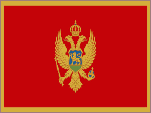 The Montenegrin flag is a red background bordered by a narrow gold stripe. The Montenegrin coat of arms is placed in the centre. The coat of arms has a double-headed
golden eagle, symbolising the unity of church and state, with a crown on top. The eagle holds a golden sceptre in its right claw and a blue orb in its left. There is
a shield over the centre of the eagle which shows a lion on a green field in front of a blue sky.
The Montenegrin flag is a red background bordered by a narrow gold stripe. The Montenegrin coat of arms is placed in the centre. The coat of arms has a double-headed
golden eagle, symbolising the unity of church and state, with a crown on top. The eagle holds a golden sceptre in its right claw and a blue orb in its left. There is
a shield over the centre of the eagle which shows a lion on a green field in front of a blue sky.


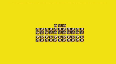
 Each little Owlbut is 1 person and
the big yellow rectangle is 1 sq km. After a while you can compare countries and see which ones are the most crowded. Remember it is only an average as
more people live closer together in towns and cities than in villages out in the country.
Each little Owlbut is 1 person and
the big yellow rectangle is 1 sq km. After a while you can compare countries and see which ones are the most crowded. Remember it is only an average as
more people live closer together in towns and cities than in villages out in the country.


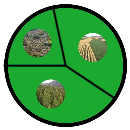
 They work in the following sectors.