


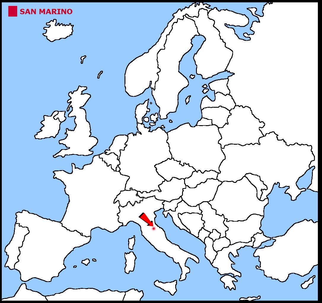
San Marino is a small country within north east Italy.
San Marino is a land locked country which means it has no coastline.
The land is made up of mountains.
The geographical coordinates for the centre of San Marino, also known as lines of latitude and longitude, are:-
Latitude - 43 46N
Longitude - 12 25E
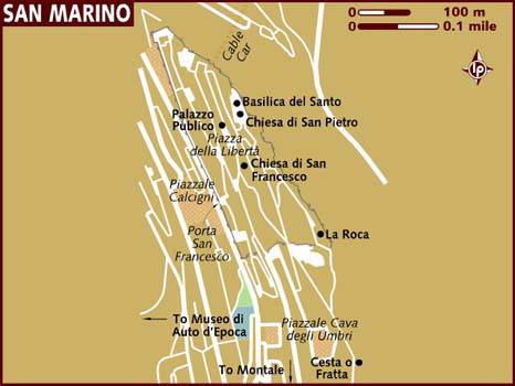
The capital of San Marino is San Marino.
San Marino is a parliamentary republic. It has a 60 member Great and General Council which is elected every 5 years. This, in turn, is headed by two leaders who
are elected by the council every six months. They are called Captain-regents and act as Heads of State for those six months. The first captains-regent were appointed
in 1243AD. The country is run by a 10 member Congress of State which is also elected by the Great and General Council.
In elections everyone over the age of 18 can vote.
The currency in San Marino is the euro although San Marino is not a member of the European Union.
Italian is the official language.
Check the weather in San Marino now.
This is the time in San Marino now
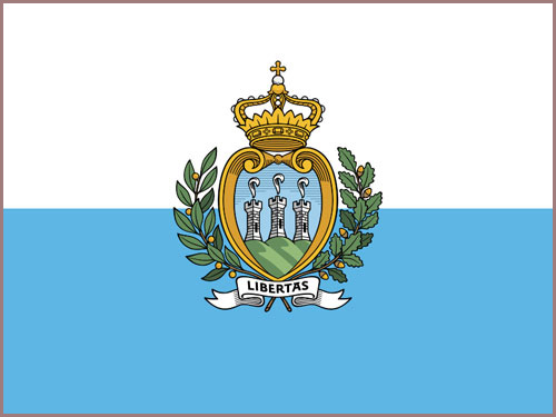 The San Marino flag is 2 equal horizontal stripes of white and light blue. The national coat of arms is shown in the centre of the flag. The shield features three
mountain peaks on a blue field. The shield has a wreath around the sides, a crown at the top and a scroll bearing the word libertas (meaning liberty in English)
underneath. The two colours of the flag represent peace (white) and liberty (blue).
The San Marino flag is 2 equal horizontal stripes of white and light blue. The national coat of arms is shown in the centre of the flag. The shield features three
mountain peaks on a blue field. The shield has a wreath around the sides, a crown at the top and a scroll bearing the word libertas (meaning liberty in English)
underneath. The two colours of the flag represent peace (white) and liberty (blue).


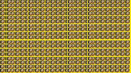
 Each little Owlbut is 1 person and
the big yellow rectangle is 1 sq km. After a while you can compare countries and see which ones are the most crowded. Remember it is only an average as
more people live closer together in towns and cities than in villages out in the country.
Each little Owlbut is 1 person and
the big yellow rectangle is 1 sq km. After a while you can compare countries and see which ones are the most crowded. Remember it is only an average as
more people live closer together in towns and cities than in villages out in the country.


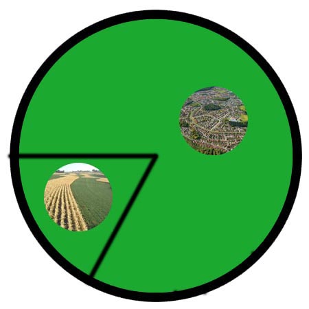
 They work in the following sectors.