


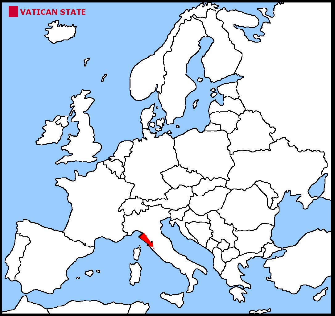
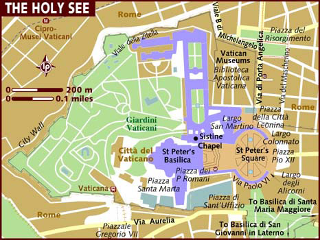
The Vatican City is a tiny state within the Italian city of Rome. It is the smallest country in the world.
The Vatican City is land locked and has no coast.
The land is on a low hill.
The geographical coordinates for the centre of The Vatican City, also known as lines of latitude and longitude, are:-
Latitude - 41 54N
Longitude - 12 27E
There is no capital city in The Vatican City.
Pontiffs had ruled over many states in Italy for over a thousand years. These states became known as Papal States. In 1861 when all these states joined
together to form Italy, the Pontiff was left with virtually no land. In 1929 a treaty established the Vatican City as the official home for all Pontiffs.
The only elections that take place are for a new Pontiff. This happens when the existing Pontiff dies or, as happened in 2013 when the present Pontiff, Francis, was elected,
if the existing Pontiff resigns. The only people who can vote are cardinals under the age of 80.
Latin is the official language.
Check the weather in the Vatican City now.
This is the time in The Vatican City now
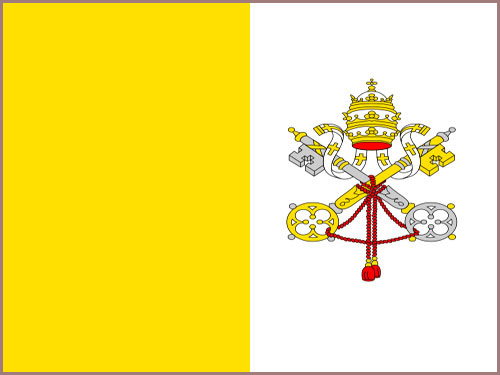 The Vatican flag is 2 equal vertical stripes of yellow and white with the coat of arms of the Vatican on the white stripe. The coat of arms is made up of the
crossed keys of St Peter underneath a 3 tiered papal crown. The yellow colour represents the Pontiff's spiritual power, the white colour is for his worldly power.
The Vatican flag is 2 equal vertical stripes of yellow and white with the coat of arms of the Vatican on the white stripe. The coat of arms is made up of the
crossed keys of St Peter underneath a 3 tiered papal crown. The yellow colour represents the Pontiff's spiritual power, the white colour is for his worldly power.


 Each little Owlbut is 1 person and
the big yellow rectangle is 1 sq km. After a while you can compare countries and see which ones are the most crowded. Remember it is only an average as
more people live closer together in towns and cities than in villages out in the country.
Each little Owlbut is 1 person and
the big yellow rectangle is 1 sq km. After a while you can compare countries and see which ones are the most crowded. Remember it is only an average as
more people live closer together in towns and cities than in villages out in the country.